Warning You're reading an old version (v5.0) of this documentation.
If you want up-to-date information, please have a look at master.
Model Geometry
MARE2DEM uses a right-handed coordinate system with the z axis positive down. x is the model strike direction where conductivity is invariant, so \({\sigma} = {\sigma(y,z)}\).
Note
There is no assumption about where \(z=0\) resides in the model or data spaces, although generally it is recommended to set \(z=0\) to be sea level. Similarly, transmitters and receivers can be located at any x position, but generally they should be close to \(x=0\).
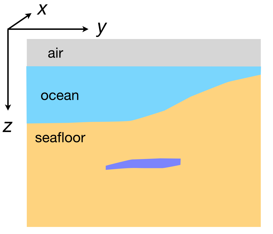
Fig. 25 Cross sectional view of the right-handed coordinate system used in MARE2DEM. As the right-hand name implies, if you point your right index finger along x and your right middle finger along y, your right thumb will point down along the z axis.
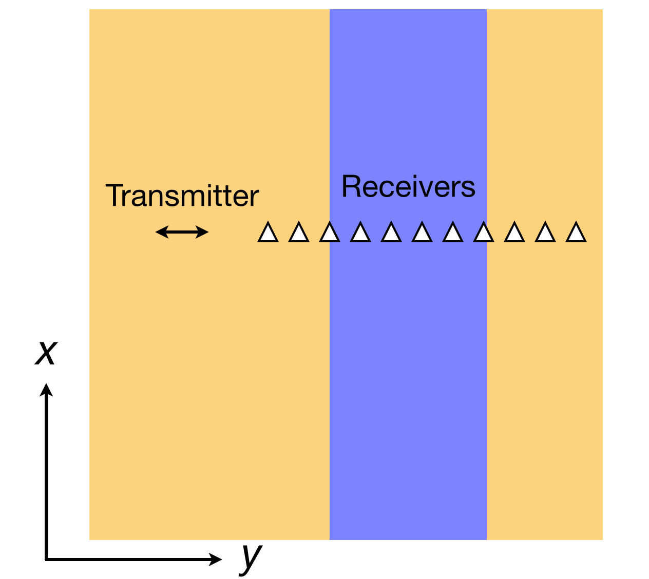
Fig. 26 Map view of the right-handed coordinate system used in MARE2DEM.